Aerial Surveying Drones: How Do They Improve Safety in Hazardous Survey Areas?
Professionals are increasingly turning to advanced solutions for surveying in hazardous environments. In this context, Aerial surveying drones in Richmond, VA have become invaluable tools. These drones allow workers to safely collect data from hard-to-reach locations without putting themselves at risk. By using these drones, surveying tasks that were once dangerous or difficult to perform can now be completed with heightened accuracy and efficiency, improving both safety and cost-effectiveness in the field.
Why Aerial Surveying Drones are Game-Changers in Hazardous Areas?
In hazardous environments, safety is always the primary concern. Surveying areas such as construction sites, mining zones, and disaster-stricken regions often involve risks like falling debris, unstable ground, or exposure to hazardous materials. Using aerial surveying drones mitigates these dangers by providing a bird’s-eye view of the entire area, allowing surveyors to capture detailed imagery and measurements without stepping into dangerous territories.
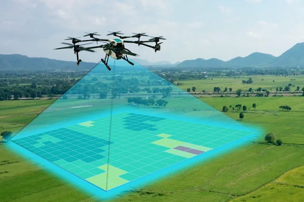
The technology behind these drones is equipped to handle high-resolution cameras and sensors that can capture critical data, such as thermal imaging, 3D mapping, and high-definition photography. This technology allows for accurate assessments and analysis without the need for human presence in risky zones.
Enhanced Data Collection for Better Decision-Making
Aerial drones offer improved data collection capabilities, ensuring that professionals can make more informed decisions. For example, when surveying construction sites or large-scale infrastructure projects, drone land surveying in VA allows for precise measurements and real-time monitoring. This means that engineers can track project progress, check for potential safety hazards, and detect any discrepancies that could lead to future complications. The ability to capture comprehensive and high-quality data helps prevent accidents and enhances overall project safety.
Additionally, drones can access areas that are challenging to survey on foot. They can fly over or around natural obstacles like rivers, cliffs, and dense vegetation, ensuring that no part of the area is left unexamined. The speed and flexibility of these drones also mean that a large area can be surveyed in a fraction of the time it would take using traditional methods.
Reducing the Risk to Surveying Teams
Traditional surveying methods often require professionals to climb high scaffolding or enter unstable structures, which is risky and time-consuming. With aerial surveying drones, these dangerous tasks can be completed without any physical risk to the surveyors. Drones are also capable of working in environments that would be otherwise impossible for humans to access, such as toxic sites or hazardous weather conditions. By using drones, surveying teams can focus on analysing the data and making decisions without being exposed to unnecessary dangers.
Applications Beyond Hazardous Sites
The safety benefits of aerial surveying drones aren’t just limited to hazardous environments. These drones can also be used in routine surveying tasks for industries such as real estate, agriculture, and environmental monitoring. For instance, in real estate, drones provide high-quality aerial images that can highlight key features of properties, making them more attractive to potential buyers. In agriculture, drones are used to monitor crop health, soil conditions, and irrigation systems. In environmental monitoring, they help assess areas affected by natural disasters or pollution without putting human lives at risk.
Final Recap
Aerial surveying drones in Richmond, VA have transformed the way surveying is done in hazardous areas. They provide a safer, quicker, and more accurate way to collect data and monitor environments without putting professionals at risk. If it’s for construction sites, environmental monitoring, or disaster management, these drones are indispensable in improving safety and efficiency. If you’re looking for high-quality aerial surveying solutions, I Fly Drones offers tailored services to meet your specific needs, ensuring safe and precise surveying every time.

