How Drone Mapping Services Are Transforming Aerial Data Collection?
The way we gather data from the sky has changed a lot and fast. Drone mapping in Henrico is making that change possible. If it’s construction, agriculture, or real estate, drones are helping teams get better information in less time and with fewer risks. This new approach doesn’t just replace older tools- it opens up a whole new way of working.
Old Methods Can’t Keep Up
Traditional aerial data collection often meant renting helicopters or planes. It was expensive, time-consuming, and sometimes unsafe. And for many businesses, it just wasn’t practical.
Now, drones are doing the same job with better results.
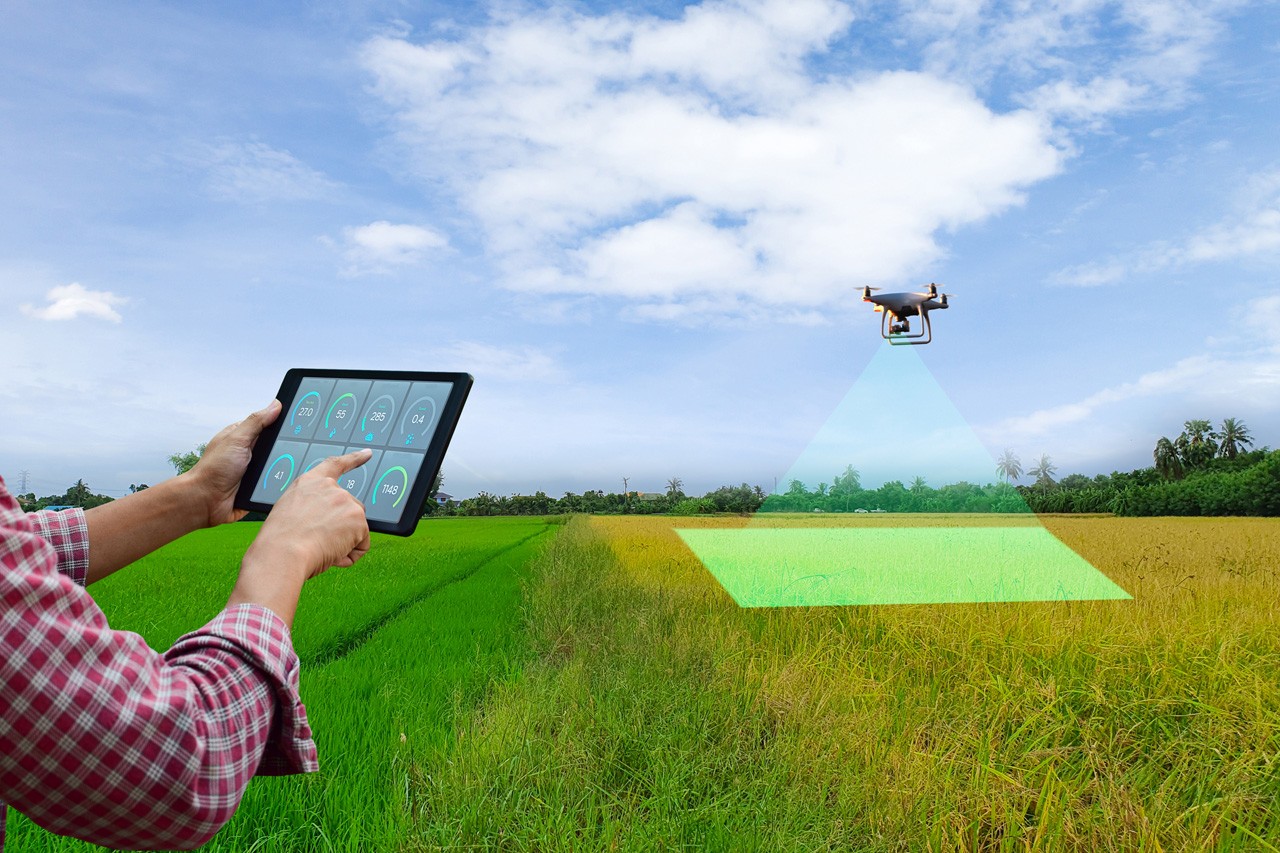
With detailed images, 3D models, and elevation maps, drone mapping gives teams clear data they can act on without leaving the ground.
What Makes Drone Mapping in Richmond So Useful?
It’s not just about flying a drone. It’s about what the drone sees and how that data is used.
Here’s what makes drone mapping in Richmond stand out:
- Speed: Drones can scan large areas fast, cutting down survey time from days to hours.
- Accuracy: Modern mapping drones create high-resolution maps with fine detail and accuracy.
- Cost Savings: No need for heavy equipment or large crews. One skilled pilot and a drone can do the job.
- Safety: Keep teams on the ground and away from dangerous or hard-to-reach places.
- Versatility: From farms to rooftops, drones handle it all-terrain, temperature, or tight spaces.
This mix of speed, detail, and safety is changing how we think about data.
Industries Already Seeing the Change
Many industries now depend on drone maps to guide big decisions.
Construction
Site planning, grading, and progress tracking become much easier with drone maps. You can spot delays, check material usage, or verify work, without walking every inch of the site.
Agriculture
Farmers use drone mapping to monitor crops, check soil health, and plan irrigation. With better information, they waste less and grow more.
Real Estate
Maps and 3D views help clients see property details from above. For large spaces or land sales, drone visuals give buyers a better idea of what they’re getting.
Inspection Services
If it’s rooftops or towers, drones can zoom in on trouble spots. No climbing needed. These real-life uses show just how practical drone data is.
Why Drone Mapping Beats Traditional Surveys?
You can’t always count on boots-on-the-ground surveys to give you the full picture. Manual methods miss details and take more time. Weather delays or unsafe spots make things worse.
Drone mapping solves those problems by:
- Giving consistent results in tough conditions
- Providing real-time updates on projects
- Making it easy to compare progress over time
The accuracy of GPS-guided flight and powerful onboard sensors means every flight brings back high-quality data.
Concluding Thoughts
Drone mapping in Henrico has changed how we collect and use aerial data. It’s faster, safer, and smarter than older ways of working. If you’re checking land, measuring progress, or spotting issues before they grow, drones are now the better choice.
If you’re looking to upgrade your data tools, I Fly Drones is here to help. We bring top-tier mapping, deep experience, and trusted service from a team that knows what works best from above. I Fly Drones uses top-tier drones with the right cameras, sensors, and software to fit the job. If you need basic site maps or 3D layouts, we have the tools and the know-how to deliver. We don’t just fly drones. We help you solve real problems with real solutions.
Frequently Asked Questions
- What is drone mapping, and how does it work?
Drone mapping uses unmanned aerial vehicles (UAVs) to capture high-resolution images and data from above. This information is processed into 2D maps, 3D models, and elevation profiles to support industries like construction, real estate, and agriculture. - Why is drone mapping better than traditional survey methods?
Drone mapping is faster, safer, and more cost-effective. It eliminates the need for expensive aircraft or large crews and delivers more accurate data in less time, even in tough conditions or hard-to-reach places. - Which industries benefit the most from drone mapping?
Construction, agriculture, real estate, and inspection services all benefit greatly. Drones help track progress, plan better, reduce waste, and capture detailed views of properties or project sites. - How accurate is drone mapping in Henrico and Richmond?
Modern mapping drones deliver extremely high-resolution and GPS-guided data, making results precise and reliable. This accuracy supports critical decisions in land development, planning, and inspections.
5. What services does I Fly Drones offer for aerial data collection?
I Fly Drones provides detailed site maps, 3D models, construction surveys, crop monitoring, and property visuals using top-tier drones and software, tailored to the specific needs of each client.