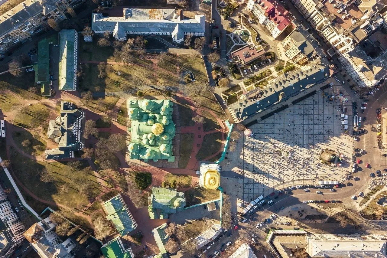
Unlocking Precision: Benefits of High-Resolution Drone Mapping
High-resolution drone mapping has transformed how we visualize and analyze spaces. From construction sites to agricultural fields, drones equipped with advanced technology provide a new perspective that is both detailed and accurate. This innovative approach to mapping has gained traction, especially in High-resolution drone mapping in Richmond, VA, where it enhances various industries by delivering precise data efficiently.
The Power of Precision
Precision is vital in industries such as construction, agriculture, and real estate. High-resolution drone mapping offers a level of detail that traditional mapping methods struggle to achieve. By capturing images from various angles, drones create high-quality maps that provide a comprehensive view of a site. This precision helps project managers and stakeholders make informed decisions based on accurate data.
For construction projects, having a clear and detailed map can significantly impact project timelines and budgets. It allows teams to assess the terrain, identify potential challenges, and plan effectively. Additionally, with precise mapping, contractors can monitor progress over time, ensuring that the project stays on track.
Applications Across Industries
High-resolution drone mapping in Richmondis not limited to construction; its applications span various sectors. In agriculture, farmers can use drone mapping to assess crop health and monitor irrigation systems. Drones can capture high-resolution images that reveal plant health issues, allowing farmers to take action quickly. This capability not only saves time but also increases yields and reduces costs.
In the real estate sector, the use of drones has revolutionized property marketing. By showcasing properties from an aerial perspective, real estate agents can highlight unique features such as pools, gardens, and expansive yards. This visual appeal attracts potential buyers and significantly boosts the visibility of listings.
Moreover, in environmental studies, drone mapping aids in surveying landscapes and monitoring changes over time. Scientists can track deforestation, water levels, and wildlife movements using the detailed imagery that drones provide. This data is crucial for making decisions that impact the environment.
Cost-Effective Solutions
Another benefit of high-resolution drone mapping is its cost-effectiveness. Traditional surveying methods can be time-consuming and expensive, often requiring extensive manpower and equipment. In contrast, drones can cover large areas in a fraction of the time, reducing labor costs and minimizing disruptions on-site.
Moreover, drones collect data that can be processed quickly, allowing for faster decision-making. With advanced software, users can generate maps and models in real-time, which is invaluable for projects that require rapid updates. This efficiency translates into savings for businesses, making drone mapping an attractive option.
Improved Safety Measures
Safety is a top priority in many industries, and high-resolution drone mapping contributes to this goal. Drones can access hard-to-reach or hazardous areas without putting personnel at risk. For instance, inspecting power lines, bridges, or rooftops can be dangerous for workers. Drones can perform these inspections safely and effectively, providing high-quality images that identify potential issues.
Parting Words
The benefits of high-resolution drone mapping are clear. From improving precision and efficiency to enhancing safety, this technology is transforming how industries operate. In High-resolution drone mapping in Richmond, VA, businesses can leverage these advantages to gain a competitive edge.
If you are in construction, agriculture, or real estate, adopting high-resolution drone mapping can streamline your processes and improve outcomes. For tailored aerial solutions, look no further than I Fly Drones LLC. Our skilled pilots provide high-quality drone mapping services that meet your specific needs, ensuring you unlock the full potential of your projects.

